El Nido Drone Photography Guide 2026: Rules, Best Spots & Flight Tips
El Nido’s limestone karsts, emerald lagoons, and powder-white beaches are some of the most drone-photogenic scenery on the planet — and with the right preparation, flying here is entirely legal and deeply rewarding. This 2026 guide covers Philippine drone regulations, El Nido-specific restrictions, the best aerial vantage points, and practical shooting tips.
Philippine Drone Regulations 2026 (CAAP)
Drones in the Philippines are regulated by the Civil Aviation Authority of the Philippines (CAAP). Key rules as of 2026:
- Registration: Any drone over 250g must be registered with CAAP. Registration is done online at caap.gov.ph and costs ₱1,500. Print your certificate and carry it when flying.
- Maximum altitude: 120m (400ft) above ground level
- Visual line of sight: You must keep the drone visible at all times
- No-fly zones: Within 10km of any airport (including Lio Airport, ENI — 15km from town, but check the map carefully)
- Protected areas: El Nido Marine Reserve requires a separate permit from the Protected Area Management Board (PAMB) for commercial drone use
- Recreational vs commercial: Recreational flights by tourists are generally permitted under CAAP registration; commercial/editorial use requires an additional Remote Pilot Certificate
El Nido-Specific Rules
Beyond national regulations, El Nido’s marine protected area status adds local considerations:
- Flying over wildlife (birds nesting on karst cliffs) is prohibited — the frigate bird colonies on Miniloc Island are particularly sensitive
- Many island resorts prohibit drone flights from their properties without prior written permission
- Tour operators may ask you to stow drones during island-hopping tours — comply, as disturbing other tourists’ experience is a valid concern
- The El Nido Tourism Office (Real Street) can advise on current local restrictions; check in on arrival
Best Drone Photography Spots in El Nido
1. Nacpan Beach (Twin Beach Spit)
The narrow sand spit connecting Nacpan and Calitang beaches looks otherworldly from above — a sliver of white sand with turquoise on both sides. Best shot at low tide. The beach is away from Lio Airport’s flight path and has no major restricted zones. Golden hour (5:45–6:15 PM) turns the sand deep amber. Park at the northern end of Nacpan for easy launch.
2. Helicopter Island Viewpoint
Helicopter Island (Dilumacad) gets its name from its aerial profile — a long, narrow landmass with a distinctive rounded end that genuinely resembles a helicopter from above. Tour C passes here; ask to be dropped at the beach rather than the main stop to get a quieter launch window. Best light: 7–9 AM.
3. Big Lagoon Entry (Miniloc)
The entrance to the Big Lagoon — framed by sheer karst walls with the emerald water below — is one of El Nido’s most iconic aerial compositions. Note: the interior of the lagoon itself is within the core protected zone; fly at the entrance only and keep altitude under 80m to stay clear of nesting cliff birds.
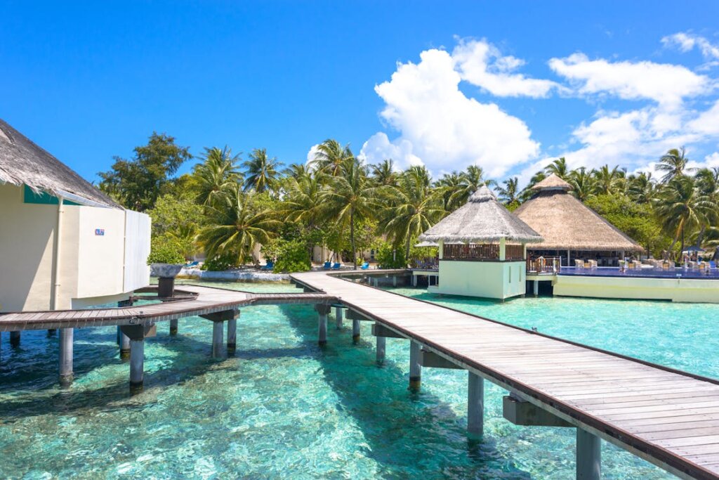
4. El Nido Town Overview (Bacuit Bay)
Launch from the hillside above the town (near the Sari-Sari stores at the base of Taraw Cliff) for a sweeping view of Bacuit Bay with the town below and the archipelago stretching into the distance. Avoid flying over the main beachfront market area during peak hours (8 AM–6 PM) when crowds are dense.
5. Matinloc Shrine Clifftops (Tour D)
The abandoned Matinloc Shrine sits on a cliff edge with a 270-degree view of the southern archipelago. It’s remote enough to be crowd-free for short windows between tour boats. The shot: shrine ruins in foreground, endless island-studded sea behind. Bring a fully charged battery — the boat journey out is 45 minutes each way.
Camera Settings for El Nido Conditions
| Condition | ISO | Shutter | White Balance |
|---|---|---|---|
| Midday sun (harsh) | 100 | 1/1000s+ | Sunny 5600K |
| Golden hour | 100–200 | 1/400–1/800s | Shade 7000K |
| Overcast/haze | 200 | 1/500s | Cloudy 6500K |
| Water close-up | 100 | 1/800s | Sunny 5200K |
Shoot in D-Log or similar flat profile if your drone supports it — the dynamic range between the bright limestone and dark lagoon water is extreme. Apply colour grading in post.
Practical Flight Tips
- Wind: Trade winds from the northeast (Nov–Apr) average 15–25 kph — fly in early morning (7–9 AM) before sea breezes pick up
- Battery: Humidity and heat reduce battery life by 10–15%. Carry 3+ batteries and a power bank capable of field charging
- Salt air: Rinse the exterior of your drone with a dry cloth after every coastal flight; salt corrodes motors over time
- Insurance: Standard travel insurance rarely covers drone damage or liability. Consider specialist drone insurance via Coverdrone before departure
More El Nido Planning
For full trip context see our El Nido packing guide 2026, island hopping tips, and transport guide. For CAAP regulations, always verify at the official CAAP website before your trip as rules are updated periodically.