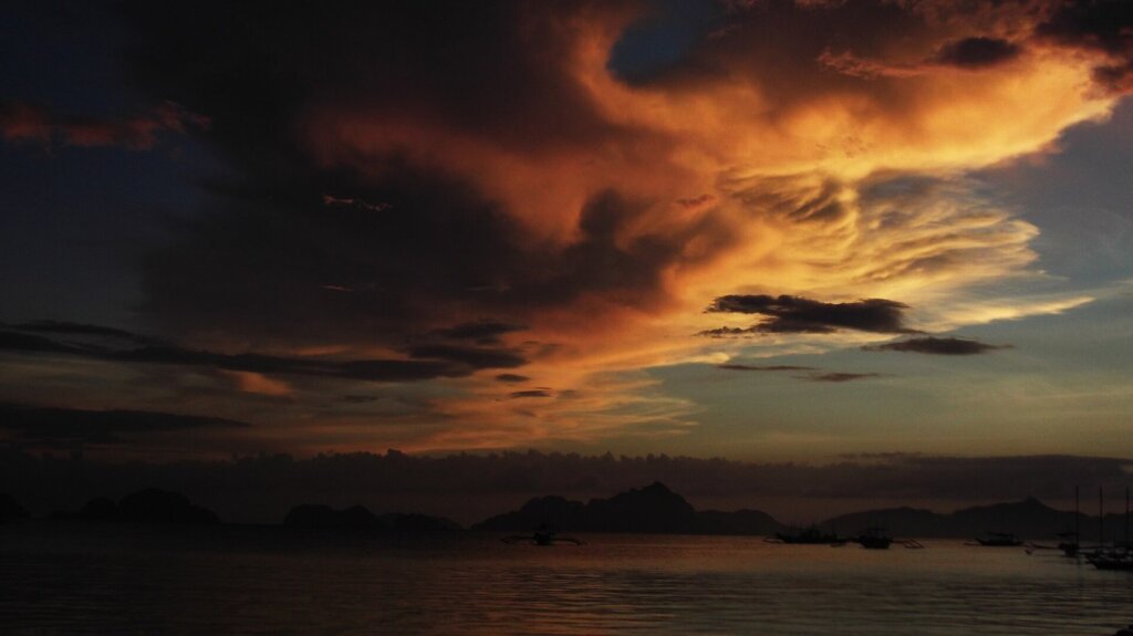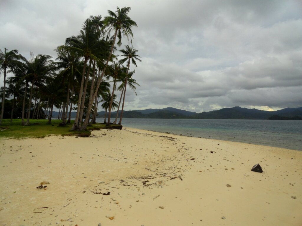

Anyone booking a boat tour in El Nido quickly meets a blur of island names: Miniloc, Matinloc, Cadlao, Shimizu and more. This guide focuses on the Bacuit Archipelago specifically for first-time visitors who want to understand the map before choosing a route, not just follow a guide from stop to stop. We explain how the islands are grouped, what each is known for and how to use that knowledge to plan a better day on the water.
What the Bacuit Archipelago Actually Is
The Bacuit Archipelago is the cluster of limestone islands and islets scattered across Bacuit Bay, just off the town of El Nido in northern Palawan. It is commonly described as consisting of dozens of islands and islets, ranging from tiny rock outcrops to large forested islands with lagoons and beaches. Counts differ between sources because small islets are sometimes grouped together, so treat any single number as approximate.
Geologically, the islands are famous for steep karst cliffs sculpted by rain, waves and time. For a deeper look at how those formations came about, read our explainer on Bacuit Bay karst and limestone geology. The bay is part of a larger protected landscape, and visitors should understand the rules that come with it, which we cover in our guide to El Nido-Taytay protected area rules.
Why does the archipelago matter to you as a traveler? Because almost every highlight, from hidden lagoons to snorkeling reefs, sits on or between these islands. Once you know which island a place belongs to, tour itineraries suddenly make sense.
A useful mental model is to split the bay into three zones. The inner bay sits closest to town and contains sheltered water and easy day trips. The central and southern islands hold many of the famous lagoons. The outer edge includes more exposed islands where swell and wind matter more. Thinking in zones helps you see why some routes run smoothly in calm weather and get shortened when the sea picks up.
How the Islands Are Grouped for Tours
Local operators bundle the islands into lettered routes so visitors do not have to plan each stop. The most commonly discussed are Tours A, B and C, and each covers a different part of the bay. You can compare them in our Tour A vs Tour B and Tour A vs Tour C guides.
Tour A is generally built around the lagoons and beaches close to Miniloc Island and its neighbors, which makes it a popular first choice. Tour B tends to pair Snake Island’s sandbar with lagoons and caves in the eastern part of the bay. Tour C usually heads toward Helicopter Island, Matinloc and hidden beaches, often with more time on the water.
Exact stops can change with weather, tide, permits and operator preferences, so always confirm the itinerary the day before. Our guide to what is included in an island-hopping lunch explains what to expect at the shore.
The Key Islands and What They Are Known For
Miniloc Island
Miniloc is the best-known island in the bay. Its coast contains several famous lagoons and passages, which is why it features so strongly in the first tour most visitors choose. Because it is popular, timing matters here more than anywhere else.
Matinloc Island
Matinloc lies further out and is associated with a hillside shrine and quiet beaches reached on longer routes. It feels more remote than the inner bay.
Cadlao Island
Cadlao is the large, dramatic island that dominates the view from El Nido town. It has a rugged profile and a lagoon on its far side that appears on some routes.
Shimizu, Helicopter and Snake Islands
Shimizu Island is known for shallow snorkeling and a small beach, Helicopter Island for its distinctive shape and clear water, and Snake Island for the winding sandbar that appears between two landmasses at lower tides.
Pinagbuyutan, Entalula and Others
These islands round out the map, offering beaches, caves and viewpoints depending on the route. Quiet visitors often find that they are less crowded than the headline stops.
Beyond these headline names, the bay contains many smaller islets that rarely appear on menus but still shape the scenery. Some hide tiny beaches, others shelter reef patches, and a few are simply dramatic rocks that make good photography backdrops. Ask your boat crew to name them as you pass, because local knowledge adds a great deal of context, and guides often know which small stops are worth a few extra minutes when the main sites are busy.
Islands at a Glance
Use the table below as a quick reference. It reflects what each island is commonly known for, not a promise of what you will see on a given day, since routes and access rules change.
| Island | Best known for | Typical route |
|---|---|---|
| Miniloc | Lagoons, passages and snorkeling | Tour A |
| Matinloc | Remote beaches and a hillside shrine | Tour C |
| Cadlao | Large dramatic profile and far-side lagoon | Varies |
| Shimizu | Shallow snorkeling and small beach | Tour A |
| Helicopter | Distinctive shape and clear water | Tour C |
| Snake Island | Winding sandbar at lower tides | Tour B |
| Pinagbuyutan | Beaches and quiet viewpoints | Tour B |
Using the Map to Plan Your Days
Once you know the geography, you can build smarter days. Rather than booking three tours that overlap, choose one route that focuses on the inner bay, one that heads outward, and leave an open day for beaches or diving. Our guide to morning vs afternoon island hopping helps you decide when to go, because the most photographed spots feel very different at 9 a.m. than at noon.
If you want more freedom, a private boat lets you set the pace and skip stops you do not care about. We compare both approaches in island hopping vs a private boat charter.
Finally, remember that boat operators must follow safety and weather rules. Check forecasts through PAGASA and keep at least one flexible day for cancellations.
Consider the season as well. During calmer months, longer outer routes are more comfortable and offer better visibility for snorkeling. During windier weeks, inner-bay routes are usually safer and more reliable. Speak to your operator about which islands are workable today rather than insisting on a specific itinerary, and you will spend less time on rough water and more time actually enjoying the places you came to see.
Budget travelers can save by joining shared tours, while those who value flexibility may prefer to pay more for a private boat. In both cases, ask what environmental and entrance fees are included so the final price is clear before you set off.
Protecting the Archipelago While You Explore
The islands are fragile. Corals, seagrass, cave ecosystems and nesting sites suffer from careless behavior, so small choices matter. Do not stand on coral, do not feed fish, keep hands off wildlife and carry all rubbish back to shore. Agencies such as the DENR and the Department of Tourism publish guidance and regulations for protected areas across the country.
Palawan is also home to other protected landscapes, including the Puerto Princesa Subterranean River, which is listed by UNESCO. Learning how those sites are managed helps you appreciate why fees, group limits and guides exist at Bacuit Bay too.
Pack for the day with reusable gear, reef-safe sunscreen and a dry bag. Our boat tour packing guide has a checklist. Divers can also review training and conservation standards through PADI.
Take photographs responsibly as well. Avoid flying drones over nesting birds or crowded beaches, keep to marked paths where they exist, and never remove shells, corals or rocks as souvenirs. These habits protect the islands for the next visitor and support the local guides and boatmen who depend on a healthy bay for their livelihood.
Common Mistakes First-Time Visitors Make
The first mistake is choosing tours by name alone, without checking what each route includes. The second is assuming every stop is open every day, when tides and weather can close access. The third is cramming too many islands into one trip and ending up rushed and tired.
A calmer approach is to pick two or three islands you truly want to see, learn their names and features, and build the day around them. Ask your operator for the order of stops, expected time at each and how the crew handles bad weather. A good guide will explain the map with pride, which is often the best sign that you have chosen the right boat.
Keep a printed or offline copy of your itinerary, save the operator’s contact number and note the meeting point and time. Small preparations like these turn a confusing map into a confident, memorable day among some of the most striking islands in the Philippines.
Finally, keep expectations realistic about crowds. The best-known islands can be busy in peak months, so consider starting early, choosing a less common route or adding a second, quieter day around Pinagbuyutan and the outer beaches.
Frequently Asked Questions
How many islands are in the Bacuit Archipelago?
Sources commonly say dozens of islands and islets, but counts vary depending on how small rock formations are grouped, so treat any number as approximate.
Which island should I see first?
Most first-time visitors start with the Miniloc area through Tour A, since it packs several highlights into one day.
Can I visit the islands without a tour?
Access is generally arranged through licensed boat operators and rules apply in protected areas, so most visitors join a tour or charter.
Do routes change during the year?
Yes. Weather, tides and local regulations can change which stops are open, so confirm the itinerary the day before.
Are the islands safe for children?
Many stops are suitable for families, but sea conditions and boat rides vary. Choose calm days and ensure life jackets are provided.